The Ha Giang Loop stretches across hundreds of kilometres of winding mountain roads, where a short distance on the map can turn into hours of riding through steep passes, sharp bends and remote valleys. Covering approximately 300 – 350km on the classic route, the journey can vary considerably depending on your itinerary, especially if you venture onto the less-travelled roads of the Adventure Route. Therefore, how far will you actually travel each day, and how do road conditions affect your journey? Ha Giang Expeditions breaks down the total distance, daily routes and road conditions to help you plan your journey and discover which route best suits your travel plans.
Table of contents
- How Long Is the Ha Giang Loop?
- Ha Giang Loop Distance Breakdown by Route
- Ha Giang Loop Roads: Terrain and Road Conditions
- Why Ha Giang Loop Distance Takes Longer Than Expected
- Choosing the Right Ha Giang Loop Length for Your Trip
- Practical Tips for Riding the Ha Giang Loop Roads
- Explore Classic & Adventure Routes with Ha Giang Expeditions
- FAQs About Ha Giang Loop Distance
How Long Is the Ha Giang Loop?
The Ha Giang Loop distance typically ranges from 300 to 350km for the classic circuit, starting and ending in Ha Giang City. The route winds through Quan Ba, Yen Minh, Dong Van and Meo Vac, taking you across dramatic mountain passes, limestone plateaus and remote villages in northern Vietnam.
The total Ha Giang Loop length varies depending on your chosen itinerary, scenic detours and overnight stops. Adventure routes may explore quieter mountain roads and lesser-known villages, resulting in a different overall distance. The table below provides an overview of the approximate distances and recommended durations for different routes:
| Route | Approximate Distance | Recommended Duration |
| Classic Ha Giang Loop | 290 – 365km | 2 – 4 days |
| Adventure Ha Giang Loop | 330 – 365km | 3 – 4 days |
| Ha Giang and Cao Bang Combined | 600 – 700+km | 4 – 5 days |
These distances are planning estimates. The actual kilometres covered depend on the specific route, additional stops and road conditions.
Ha Giang Loop Distance Breakdown by Route
The total distance of the Ha Giang Loop depends on the roads included in your itinerary. Some routes follow the main mountain passes through Dong Van and Meo Vac, whereas others take longer detours through remote villages and less-travelled valleys. Comparing the distances and daily riding stages gives you a clearer idea of the journey ahead.
The Classic Ha Giang Loop – Distance by Day
The 3-day Classic itinerary offered by Ha Giang Expeditions covers approximately 365km, with daily distances ranging from 85 to 145km. Each stage includes scheduled sightseeing stops, allowing travelers to explore the region’s major landmarks along the way.
| Day | Route | Distance |
| Day 1 | Ha Giang City – Quan Ba – Yen Minh – Dong Van | 135km |
| Day 2 | Dong Van – Lung Cu – Ma Pi Leng – Meo Vac | 85km |
| Day 3 | Meo Vac – M Road – Ha Giang City | 145km |
| Total | 365km | |
Day 1 – Ha Giang to Dong Van (135km)
The journey begins with a ride through Quan Ba Heaven Gate and the Twin Mountains before continuing toward Yen Minh. Along the way, you can visit Lung Tam Linen Village, navigate the winding curves of Tham Ma Pass and explore the historic Hmong King’s Palace. The day ends in Dong Van Ancient Town, surrounded by the limestone mountains of the Dong Van Karst Plateau.
Day 2 – Dong Van to Meo Vac (85km)
Although the second day covers fewer kilometres, the route includes some of Ha Giang’s most remarkable landmarks. You will travel toward Lung Cu Flag Tower, visit Lo Lo Chai Village and discover the traditional houses of Thien Huong Village. The journey continues across Ma Pi Leng Pass, where steep mountain slopes overlook the Nho Que River and deep valleys below.
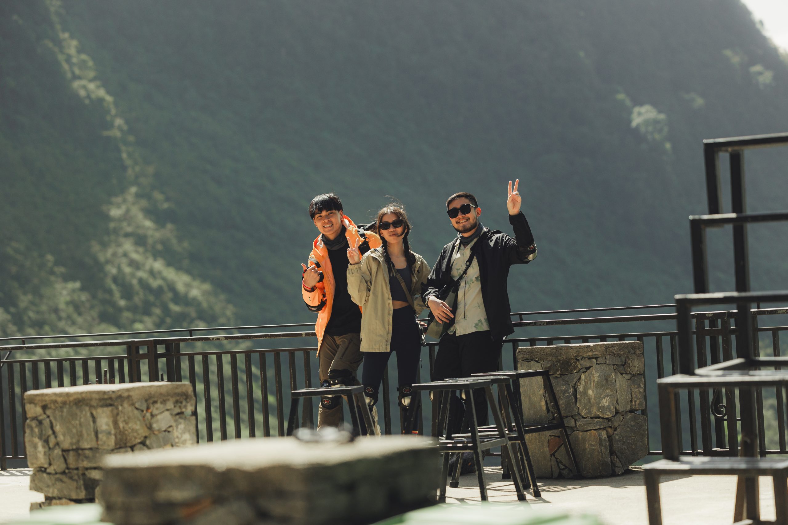
Day 3 – Meo Vac to Ha Giang City (145km)
The final day follows winding mountain roads back toward Ha Giang City. Highlights include a boat trip along the Nho Que River, the distinctive curves of M Road, Lao Va Chai Viewpoint and a stop at a hidden waterfall. The longer distance makes this a full day of travel, with arrival in Ha Giang City scheduled for late afternoon.
For travelers who prefer a more relaxed itinerary, Ha Giang Expeditions also offers a 4-day Classic Loop covering approximately 355 km, with an additional overnight stay in a local village and more time for scenic stops.
Exploring Remote Mountain Roads on the Adventure Route
The Adventure Ha Giang Loop takes a different approach to exploring the mountains. At Ha Giang Expeditions, the journey combines scenic riding with hiking along limestone cliffs, kayaking on the Nho Que River and overnight camping beside Tu San Canyon. The route includes some of the same iconic roads as the Classic Loop, but dedicates more time to exploring the landscape on foot and by water.
Our 3-day Adventure itinerary covers approximately 330km of road travel, with a separate 9 km hike along the Ma Pi Leng Sky Path. The 4-day option extends the journey to approximately 365km, adding an overnight stay in Nam Dam Village.
| Day | Adventure 3D2N | Adventure 4D3N |
| Day 1 | Ha Giang – Dong Van (135km) | Ha Giang – Dong Van (135km) |
| Day 2 | Dong Van – White Cliff – Campsite (50km) | Dong Van – White Cliff – Campsite (50km) |
| Day 3 | Campsite – Ha Giang (145km) | Campsite – M Road – Nam Dam (110km) |
| Day 4 | – | Nam Dam – Ha Giang (70km) |
| Total road distance | 330km | 365km |
The second day is the highlight of the Adventure Route. After leaving Dong Van, you follow the mountain roads toward Ma Pi Leng, where a 9km hike along the Sky Path leads through limestone cliffs, Hmong villages and cornfields. The trail opens up remarkable views of the Nho Que River winding through the canyon far below.
The experience continues with a boat trip through Tu San Canyon before reaching a riverside campsite for the night. The following morning begins with kayaking on the Nho Que River, surrounded by towering limestone cliffs.
On the 4-day Adventure Route, the journey continues along M Road and through scenic mountain villages toward Nam Dam. You can explore local life, visit Nai Waterfall and spend another night in a traditional village setting before returning to Ha Giang City.

How Far Can You Go Beyond the Traditional Loop?
The journey does not have to end when you complete the traditional Ha Giang circuit. Travelers with more time can extend their route toward Cao Bang, discovering another part of northern Vietnam known for dramatic mountain passes, limestone valleys, waterfalls and traditional villages.
Ha Giang Expeditions offers combined Ha Giang – Cao Bang itineraries lasting 4 to 5 days, taking you beyond the familiar roads around Dong Van and Meo Vac.
The 4-day Ha Giang – Cao Bang tour begins with a 135km journey from Ha Giang City to Dong Van. The following day covers approximately 210km toward Cao Bang, crossing mountain roads such as Me Pia Pass, famous for its 14 sharp hairpin bends. The route continues toward Pac Bo, with further stops including God’s Eye Mountain, traditional craft villages and the Ban Gioc Waterfall area.
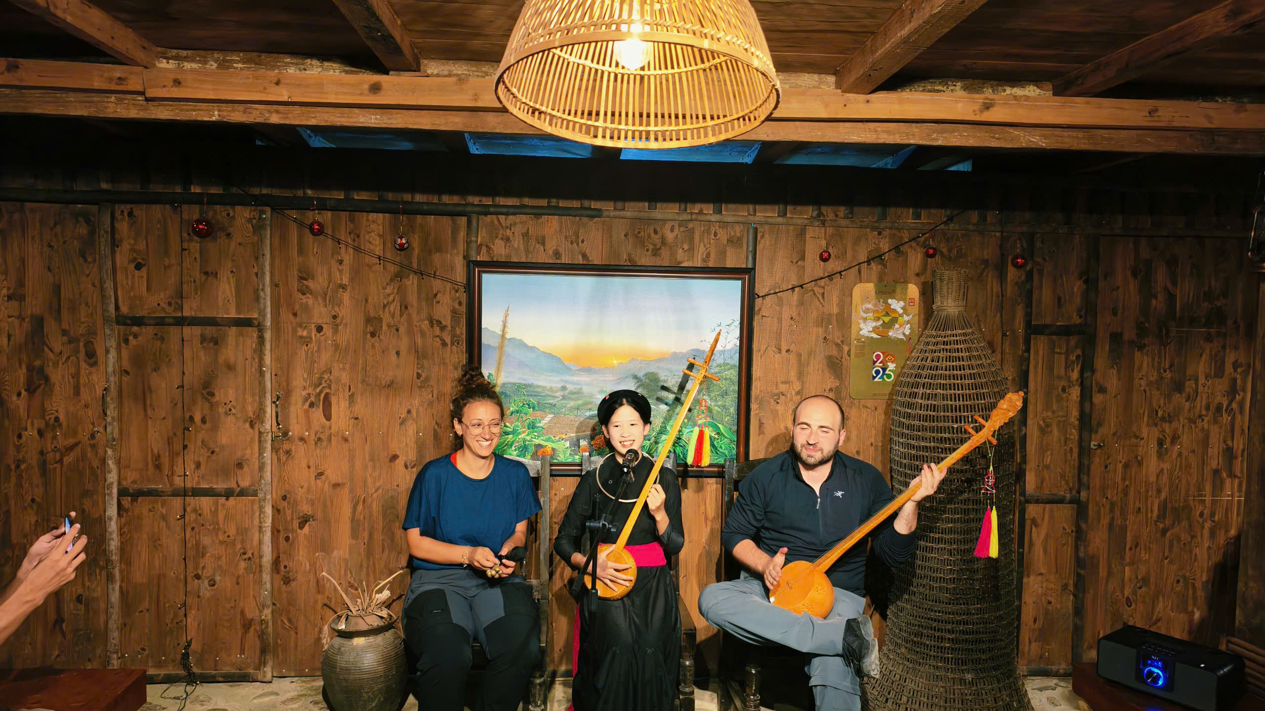
For travelers seeking a longer adventure, the 5-day combined itinerary allows more time to discover Cao Bang’s natural landscapes and local communities, with opportunities for outdoor activities such as hiking and kayaking.
Unlike the standard Ha Giang Loop, these combined routes do not necessarily return to Ha Giang City. Their total distance depends on the final destination, selected roads and planned activities.
Extending your journey into Cao Bang gives you a broader experience of northern Vietnam, with new mountain landscapes and cultural encounters beyond the traditional Ha Giang circuit.
Ha Giang Loop Roads: Terrain and Road Conditions
The Ha Giang Loop roads pass through rugged mountain terrain, where steep gradients, narrow lanes and changing road surfaces can make even short journeys demanding. Although many sections are paved, riding conditions vary considerably between the main highways and smaller roads leading into remote communities. Understanding these differences is essential when estimating travel time and choosing a route that matches your riding experience.
Steep Mountain Passes and Sharp Turns
Mountain passes are a defining feature of the Ha Giang Loop, with roads climbing steep hillsides before descending through tight bends and narrow valleys. Riders must constantly adjust their speed, especially on blind corners where approaching vehicles may be difficult to see.
Several sections require extra attention:
- Bac Sum Pass features a series of winding bends and steep climbs, demanding careful speed control, particularly during descents.
- Tham Ma Pass is known for its consecutive hairpin turns, where limited visibility makes overtaking risky.
- Ma Pi Leng Pass follows exposed mountainsides with narrow stretches, sharp curves and steep drops, requiring steady handling and full concentration.
- M Road features distinctive zigzag bends across the mountains, where riders need to slow down before entering each turn.
On these mountain roads, maintaining a safe speed matters more than covering kilometres quickly. Larger vehicles may occupy additional space when negotiating tight corners, so riders should keep a safe following distance and avoid overtaking where visibility is restricted.

Classic vs. Adventure Ha Giang Loop Road Conditions
Although the Classic and Adventure routes share several major roads, the riding conditions can differ depending on the smaller roads and access points included in the itinerary.
| Road Features | Classic Route | Adventure Route |
| Main road surfaces | Predominantly paved mountain roads | Paved roads with additional access routes to hiking and camping areas |
| Road width | Narrow mountain sections with regular traffic | Some smaller access roads may be narrower and less developed |
| Terrain | Mountain passes, steep gradients and continuous bends | Mountain passes, remote access roads and hiking trails |
| Main challenges | Sharp turns, traffic and changing elevations | Variable surfaces, access conditions and transitions between riding and outdoor activities |
| Riding experience | Requires confidence on winding mountain roads | Local guidance is valuable when reaching remote activity locations |
The Classic Route generally follows established roads connecting the main towns, where fuel stations, restaurants and accommodation are easier to find. Road surfaces can still be uneven in places, particularly around construction areas or sections affected by recent rainfall.
On the Adventure Route, the main riding sections are complemented by access to locations such as the Ma Pi Leng Sky Path and the Nho Que riverside campsite. These areas may involve smaller roads, walking trails or transfers that require additional planning. The hiking sections should not be confused with motorbike riding distances.
At Ha Giang Expeditions, our local guides help navigate the mountain roads and adjust the itinerary when access conditions change. This is particularly useful on the Adventure Route, where reaching outdoor activity locations may require more flexibility than travelling between the main towns.
How Weather Affects Ha Giang Loop Roads
Weather can change the condition of mountain roads within a short period, influencing visibility, surface grip and the time needed to complete each section. Conditions may also differ between valleys and higher mountain passes on the same day.
- Heavy rain and slippery surfaces: During the rainy season, generally from May to September, wet asphalt, loose gravel and muddy patches can reduce traction. Prolonged rainfall may also trigger landslides or leave debris on mountain roads.
- Fog and reduced visibility: Mist and low clouds are common in higher areas during cooler months, particularly around Dong Van and Ma Pi Leng. Dense fog can obscure sharp bends and approaching traffic, requiring slower speeds and greater following distances.
- Cold temperatures and strong winds: From December to February, exposed mountain passes can become cold and windy. Riders may experience reduced comfort and concentration during long stretches, making warm, windproof clothing essential.
- Sudden weather changes: Clear skies in Ha Giang City do not guarantee similar conditions in the mountains. Rain or fog may develop at higher elevations, making it necessary to adjust planned stops or travel times.
Road conditions can change following storms or maintenance work, so seasonal patterns should be treated as general guidance rather than a guarantee. Checking local updates before departure and allowing extra time for difficult sections will help you plan more realistic daily riding distances.
Why Ha Giang Loop Distance Takes Longer Than Expected
Covering 100 km on the Ha Giang Loop can take considerably longer than travelling the same distance on a regular highway. Even on well-paved sections, mountainous terrain, changing elevations and frequent stops can make an 80 – 100 km journey take around 3 – 5 hours of riding, sometimes longer depending on the route and conditions. Several factors can extend your travel time:
- Average riding speed: Motorbikes may travel at approximately 20 – 30 km/h on demanding mountain sections, considerably slower than on flat roads.
- Scenic and cultural stops: Visiting local markets, exploring villages, taking photographs and enjoying meals can add several hours to your daily itinerary.
- Unexpected delays: Road maintenance, temporary traffic restrictions or changing weather conditions may require additional travel time.
- Riding experience: Experienced riders may maintain a steadier pace, whereas beginners often need more breaks to navigate unfamiliar mountain roads.
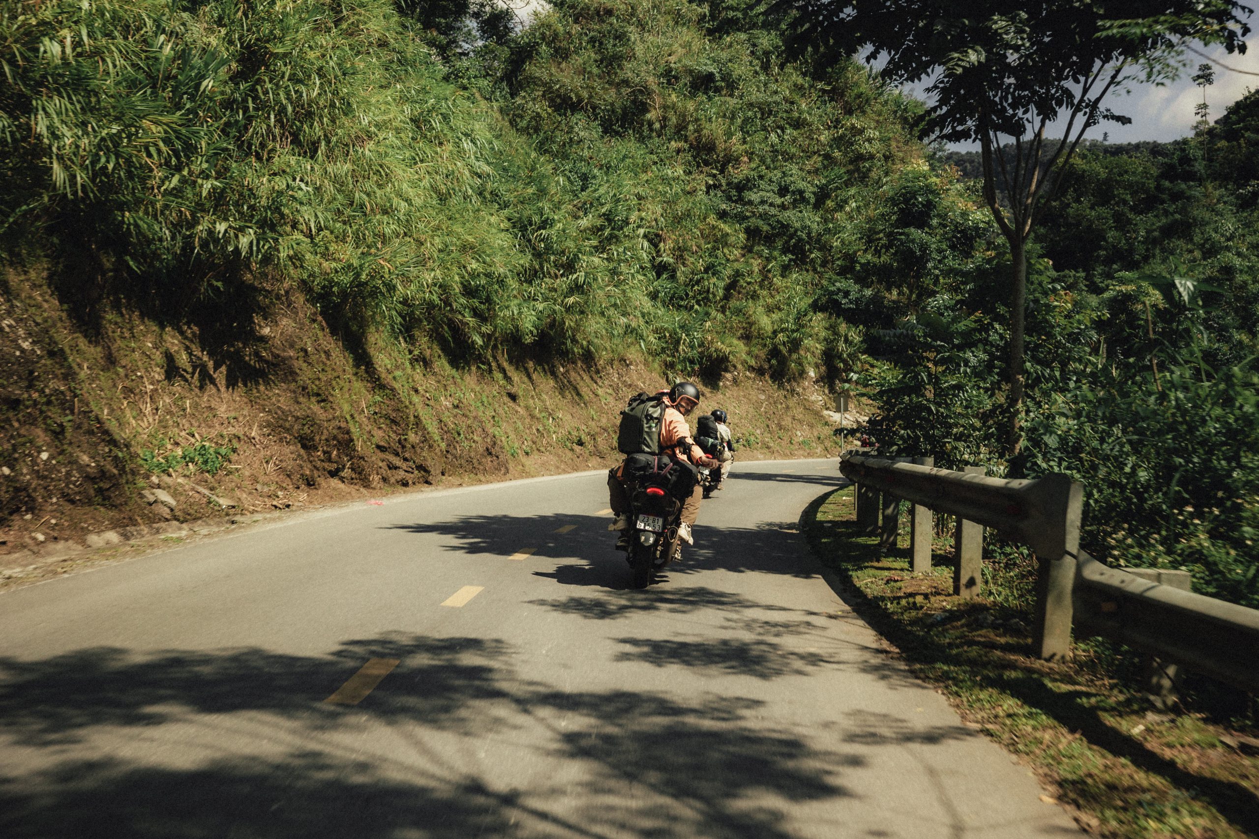
Choosing the Right Ha Giang Loop Length for Your Trip
The ideal Ha Giang Loop length depends on more than the number of kilometres you plan to cover. Your available time, riding experience and preferred activities will determine how comfortably you can enjoy the journey. Before settling on an itinerary, consider the following factors to find a route that matches your travel plans:
- Available travel time: Start by checking how many full days you can spend in Ha Giang, excluding transfers from Hanoi or other destinations. A 3-day tour covers the main circuit, but allowing four days gives you more flexibility for sightseeing, rest and unexpected schedule changes.
- Preferred travel experiences: Think about what you would most enjoy during your journey. The Classic Route focuses on iconic mountain scenery and cultural landmarks, whereas the Adventure Route introduces more active experiences, including hiking, kayaking and camping in remote natural settings.
- Riding experience and comfort: Long hours on winding mountain roads can be tiring, even for experienced riders. If you are unfamiliar with this terrain, choosing an Easy Rider allows you to enjoy the journey without managing the motorbike yourself.
- Physical fitness: Consider the activities included in your itinerary, not just the riding distance. Adventure tours may involve extended hikes over uneven terrain, so reviewing the difficulty of each activity will help you prepare for the journey.
Practical Tips for Riding the Ha Giang Loop Roads
Navigating the Ha Giang Loop roads requires careful preparation, particularly if you plan to ride through unfamiliar mountain terrain. Based on our experience guiding travelers through the region, we recommend a few practical precautions to help you stay safe and manage your journey more comfortably:
- Start early and finish before dark: Plan your departure around the day’s route and scheduled stops, leaving enough daylight to reach your accommodation safely. Street lighting is limited on many mountain roads, making sharp bends and obstacles harder to identify at night.
- Check your motorbike before departure: Check the brakes, tyres, lights and fuel level before each day’s ride. Always wear a properly fitted helmet and suitable footwear. Self-drive travelers must also hold a motorcycle licence recognised in Vietnam and have the experience needed for mountain riding.
- Refuel in major towns: Refuel at established petrol stations in towns such as Yen Minh, Dong Van and Meo Vac. Check the distance to your next reliable fuel stop rather than assuming petrol will be available in every village.
- Download offline maps: Download maps before departure, as mobile reception may be unreliable in remote areas. Navigation apps can suggest unsuitable shortcuts, so confirm unfamiliar roads with your local guide before changing direction.
- Pack for changing mountain weather: Pack a raincoat, warm layers, drinking water and comfortable footwear. If you’re joining our Adventure Route, bring suitable shoes for hiking and keep personal belongings protected from water during outdoor activities.
If you’re not confident riding on mountain roads, our Easy Rider tours let you experience the Ha Giang Loop as a passenger with an experienced local rider. You can also join our guided self-drive tours if you meet the legal requirements and have sufficient riding experience. Our team can help you choose the option that suits your abilities and travel plans.
Explore Classic & Adventure Routes with Ha Giang Expeditions
Every great journey through Ha Giang begins with the right route. With experienced local guides and carefully planned itineraries, Ha Giang Expeditions helps you explore the mountains at a pace that suits your travel plans. Ready for a deeper adventure? Discover our Classic and Adventure Ha Giang Loop tours and let us help you plan an unforgettable journey!
Hotline: (+84) 39 767 98 89
FAQs About Ha Giang Loop Distance
Does the Ha Giang Loop Start and End in the Same Place?
Most traditional Ha Giang Loop itineraries begin and end in Ha Giang City. Extended journeys connecting Ha Giang with Cao Bang may finish elsewhere, depending on the tour itinerary.
Can You Complete the Ha Giang Loop in 2 Days?
Yes, Ha Giang Expeditions offers a 2-day Classic Ha Giang Loop tour for travelers with limited time. The itinerary covers selected highlights of the region within a shorter schedule, making it a practical option for a quick mountain getaway. You can also choose a longer tour if you prefer more time for sightseeing and local experiences.
Does the Ha Giang Loop Distance Include Hiking and Boat Trips?
No. Published riding distances generally refer to the sections covered by road. On our Adventure tours, activities such as hiking, kayaking and boat trips are separate from the motorbike distance and should be considered when planning your daily schedule.