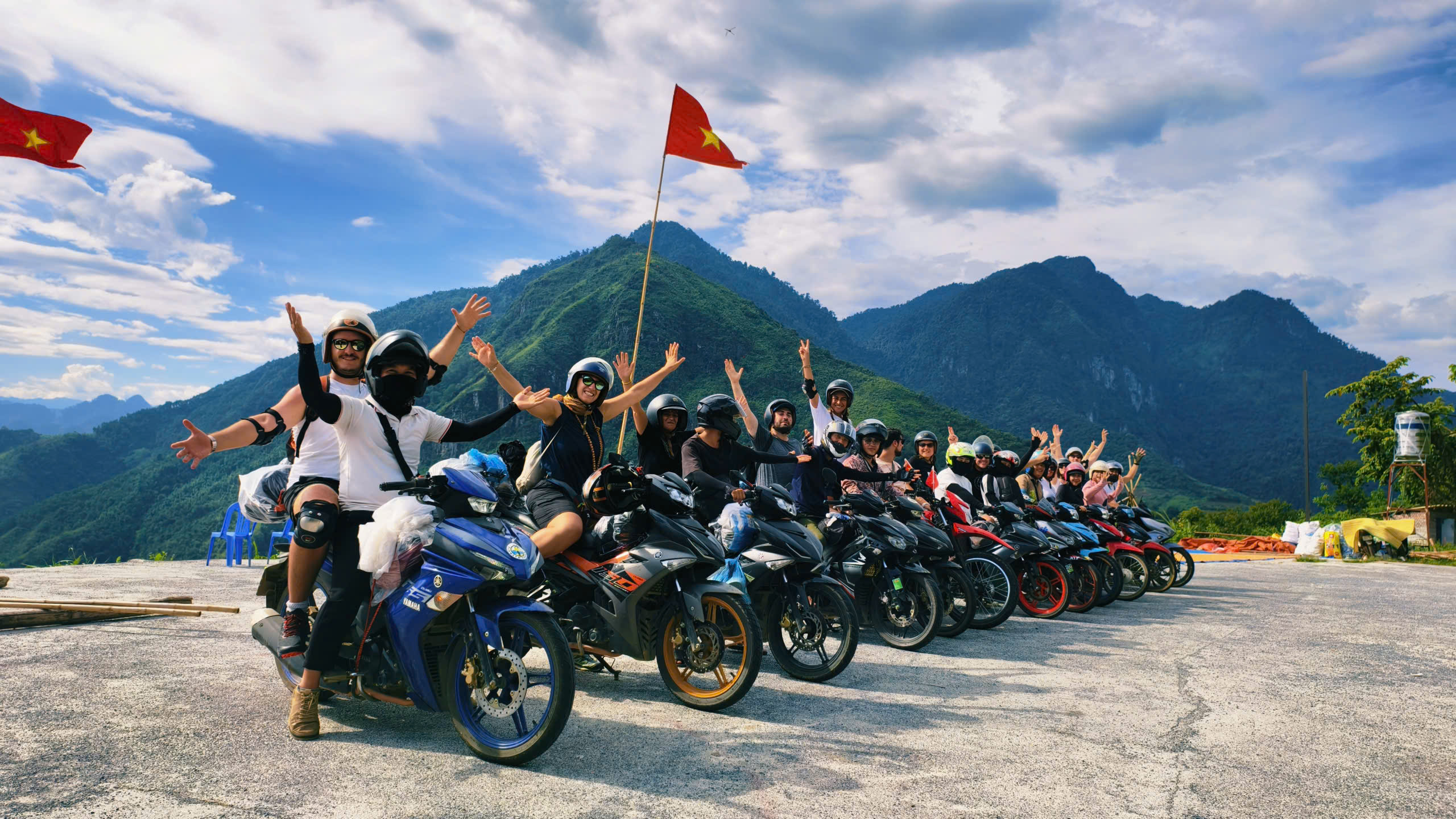
Welcome To Tham Ma Pass
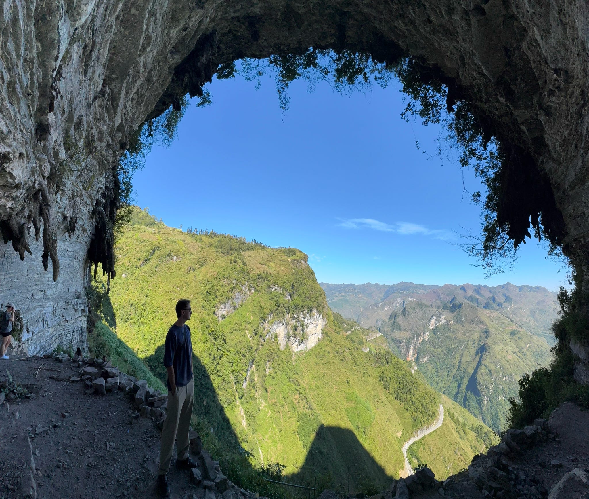
Winding dramatically through limestone peaks and deep valleys, Tham Ma Pass is one of the most photographed roads in Ha Giang—and a highlight for anyone traveling along the Ha Giang Loop. Known for its thrilling curves, panoramic views, and fascinating local stories, this stretch of road captures everything that makes Ha Giang so unforgettable: adventure, beauty, and authenticity.
A Road of Nine Bends and Endless Views
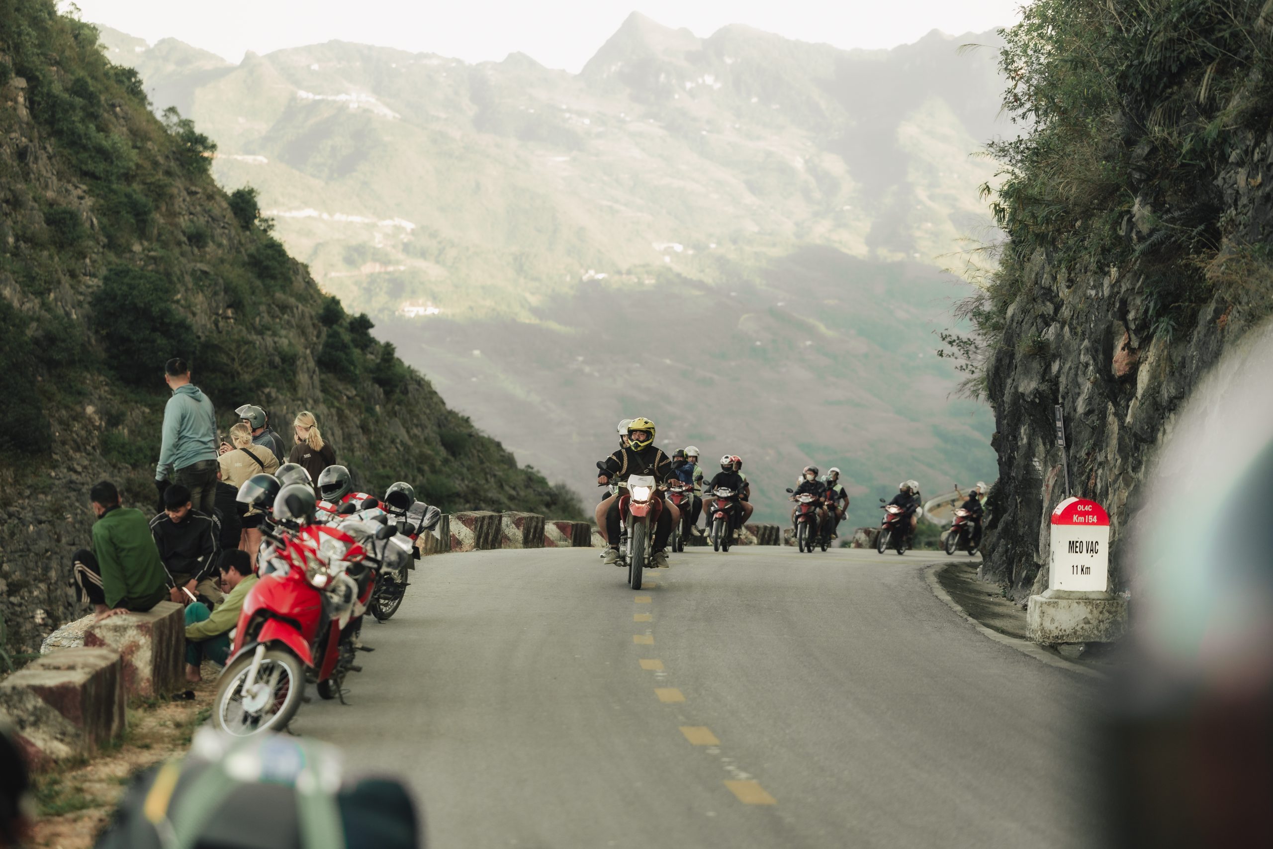
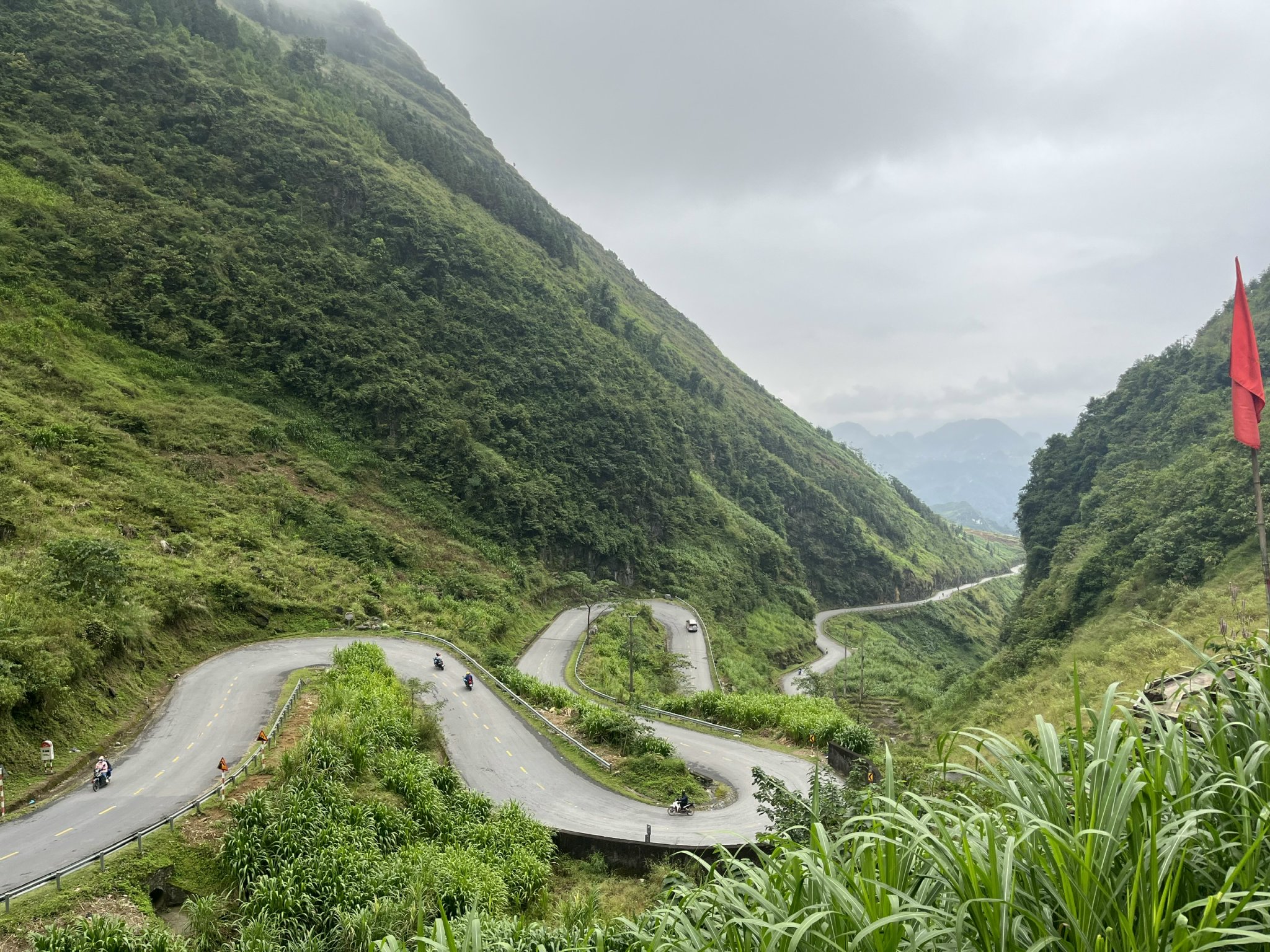
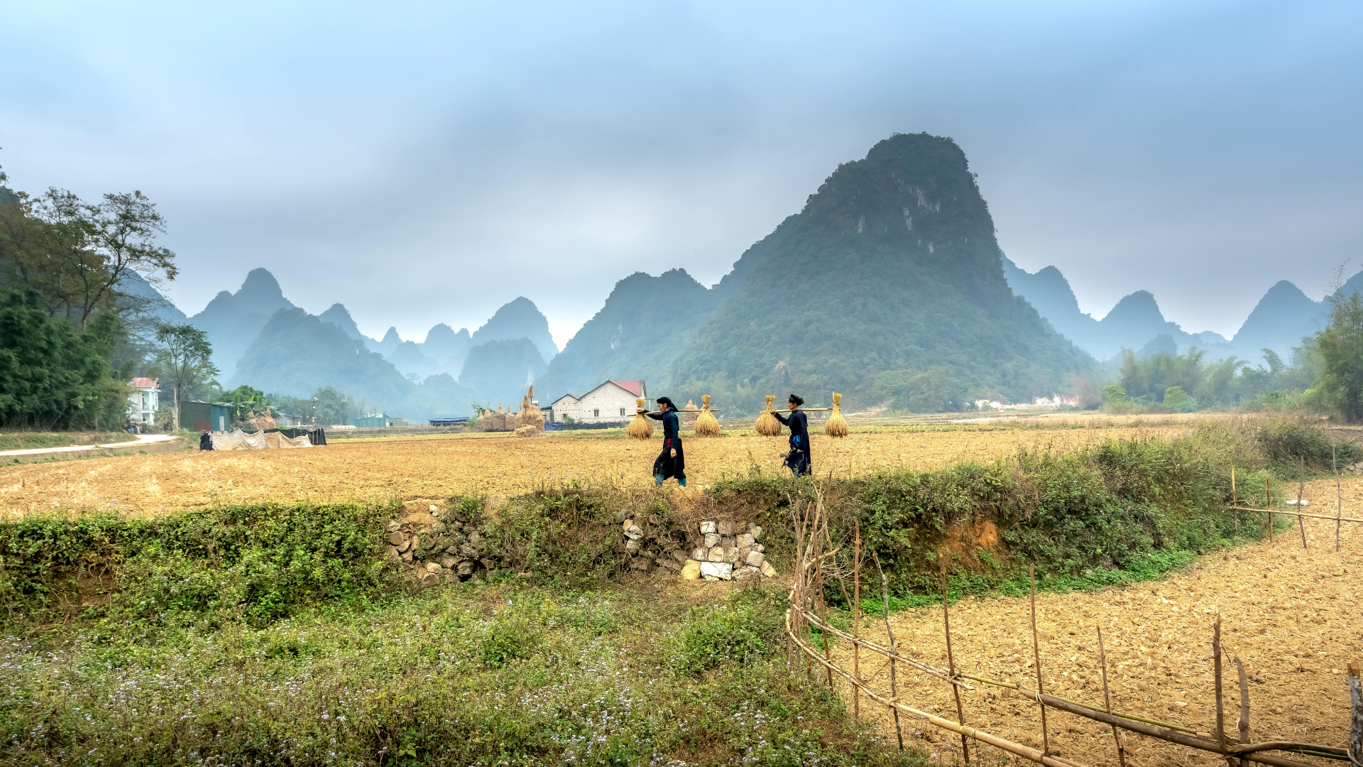
Located on Highway 4C, between Yen Minh and Pho Cao, the Tham Ma Pass marks the beginning of the truly mountainous section of the Ha Giang Loop. It’s around 5 kilometers long, but every twist reveals a new perspective—dramatic limestone cliffs, terraced fields carved into the hillsides, and tiny Hmong villages scattered in the distance.
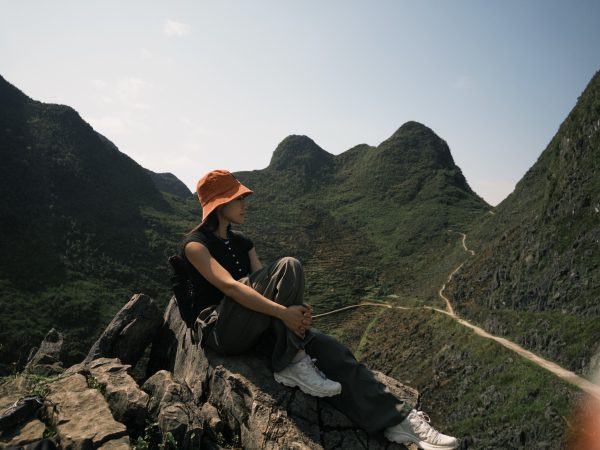
From the top viewpoint, you can see the iconic “S-shaped road,” a winding stretch that has become a favorite spot for travelers and photographers alike. The higher you climb, the more breathtaking the view—especially when mist drifts across the peaks in early morning or late afternoon.
The Legend of the Name “Tham Ma”
The name “Tham Ma” literally means “to test the horse” in the Hmong language. Long ago, this steep pass was used by traders traveling from Dong Van to Ha Giang with horses carrying heavy goods. Only the strongest, most enduring horses could make it to the top—and those that couldn’t would be left behind.
Today, the road still “tests” travelers, but in a much more exhilarating way. The curves are sharp, the drops steep, and the views—absolutely worth every turn.
A Photographer’s Dream
Tham Ma Pass offers some of the most striking photo opportunities in northern Vietnam. Whether you’re a professional photographer or just capturing moments on your phone, the combination of the serpentine road, karst mountains, and Hmong women in colorful dresses makes every shot spectacular.
-
Best time to shoot: early morning (6:30–8:00 AM) for mist and soft light, or late afternoon (4:00–5:30 PM) for warm golden tones.
-
Drone shots: This is one of the top drone photography spots in Ha Giang if you have one, this is where you’ll want to use it.
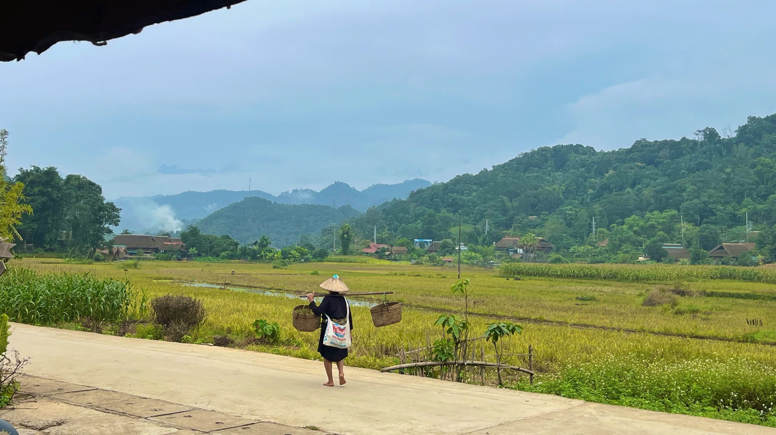
Local Encounters Along the Way
At the main viewpoint, you’ll often meet local Hmong children selling flowers, mint honey, or small handmade trinkets. While it’s a beautiful spot for photos, it’s also a good moment to connect respectfully—a small chat, a smile, or buying something small helps support local families.
Just a few minutes beyond the pass lies Pho Cao Village, known for its ancient stone houses and traditional markets. Stopping here adds another layer to the journey, showing a glimpse into highland life that has remained unchanged for generations.
When to Visit Tham Ma Pass
-
September–October: Rice harvest season, golden terraces.
-
November–February: Misty, cool mornings with dramatic clouds.
-
March–May: Green fields and wildflowers.
Avoid heavy rain if possible, as the curves can be slippery for motorbikes.
How to Get There
-
From Ha Giang City, Tham Ma Pass is about 90 km north along the Ha Giang Loop route, roughly 2 hours by motorbike or car.
-
The pass lies between Yen Minh and Pho Cao, on the way to Dong Van Ancient Town.
-
It’s easily accessible and can be visited as part of a one-day or multi-day Ha Giang Loop trip.
Travel Tips
-
Go slow: The road is steep and curvy; enjoy the ride and the views.
-
Stop safely: Pull over at designated viewpoints—never stop mid-curve.
-
Combine stops: Pair Tham Ma Pass with Pho Cao Ancient Village or Lung Cam Cultural Valley for a full scenic morning.
Tham Ma Pass isn’t the longest or highest mountain road in Ha Giang—but few places capture the province’s wild beauty as perfectly. It’s where the landscape begins to change, where adventure truly begins, and where every traveler feels the thrill of being deep in the northern highlands.